
Peninsula City by the Bay
Listings in Burlingame, CA
Welcome to Burlingame, a tree-lined San Francisco Peninsula city known for its historic downtown along Burlingame Avenue and its location minutes from San Francisco International Airport.
Burlingame sits on the San Francisco Peninsula in San Mateo County, midway between San Francisco and San Jose and immediately north of San Francisco International Airport. Incorporated in 1908 and named for Anson Burlingame, a 19th-century diplomat, the city grew as an early Peninsula suburb shaped first by the railroad and later by the region's rise as a technology, aviation, and life-sciences hub. Today it is home to roughly 31,000 residents and holds a long-running "Tree City USA" designation, a reflection of the mature street trees and broad canopy that define much of its residential character. The city reads as a classic older suburb wrapped around a small downtown. Burlingame Avenue, running from California Drive toward El Camino Real, anchors a pedestrian-friendly commercial district of local retailers, restaurants, and cafes. Around it sit some of the Peninsula's most established neighborhoods, where early-1900s bungalows, Craftsman homes, and Spanish Revival residences line terraced, tree-shaded streets. This older, low-rise housing fabric distinguishes Burlingame from the newer master-planned communities that characterize other parts of the Bay Area. Burlingame's appeal rests heavily on location. It offers a short commute into San Francisco, ready access to the San Francisco Bay shoreline, and direct proximity to a major international airport, all while maintaining a distinctly residential, family-oriented feel. The bayfront, with the San Francisco Bay Trail and the roughly 670-acre Coyote Point Recreation Area, adds open space that contrasts with the densely built corridors to the north and south. Neighborhood parks such as Washington Park anchor everyday recreation, while the downtown Caltrain station and nearby Millbrae BART hub keep the wider region within easy reach. Economically, Burlingame benefits from its position near San Francisco International Airport and the broader Peninsula job market, which supports a well-educated, largely professional population. The city's identity remains rooted in its historic neighborhoods and walkable commercial core rather than any single dominant industry. The result is a community that suits households seeking older, character-rich housing stock, strong public schools, and a central, well-connected Peninsula setting where both city and shoreline are close at hand.

Get more information about Burlingame
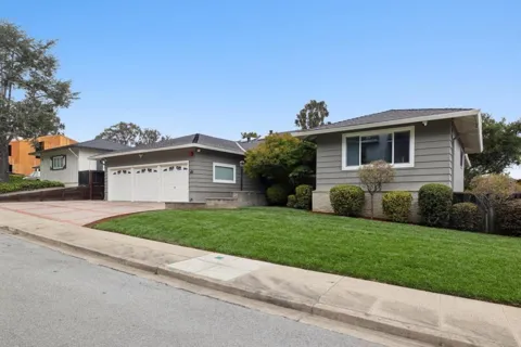
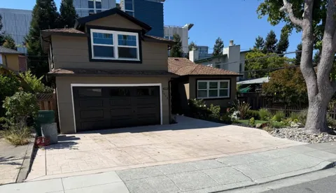
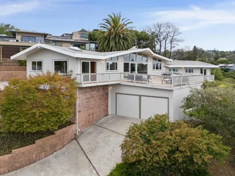
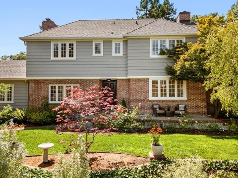
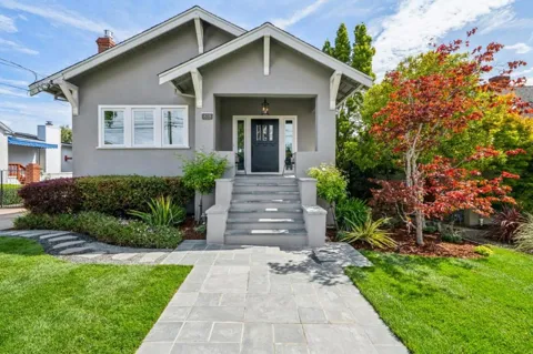
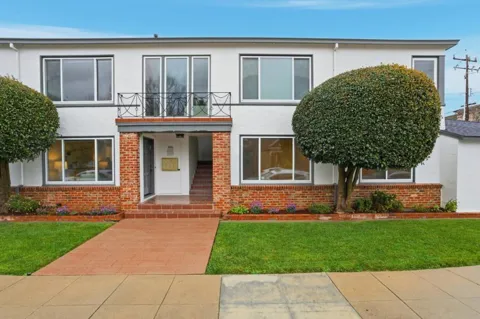
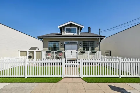
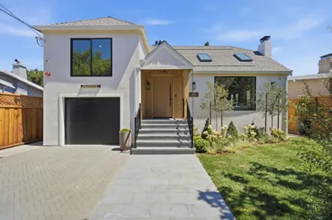
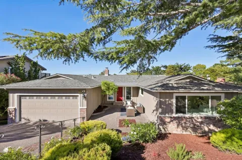
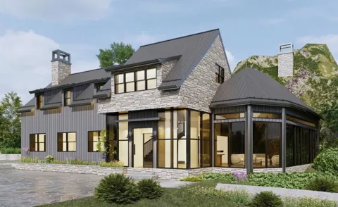
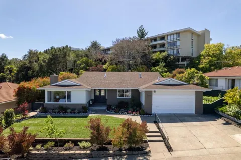
Houses in Burlingame, CA

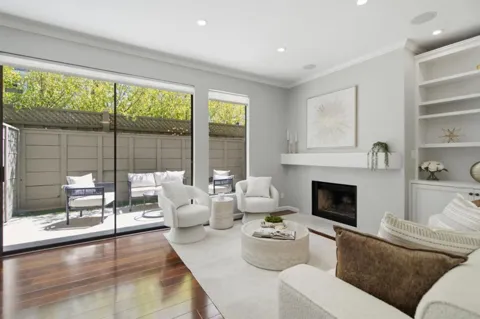

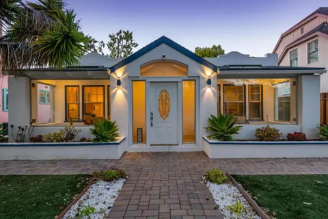

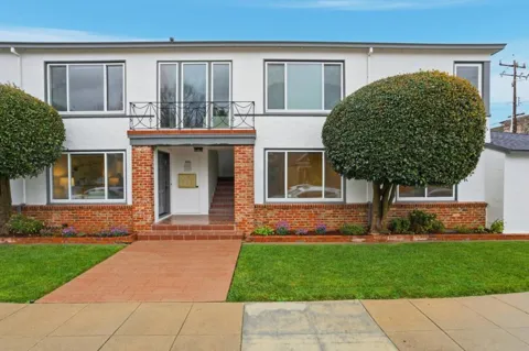
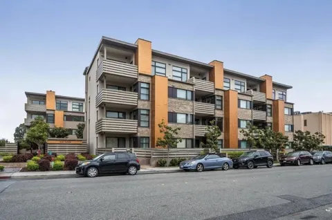
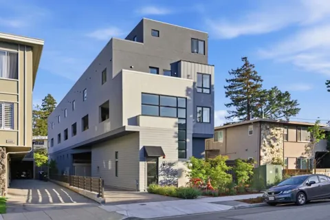
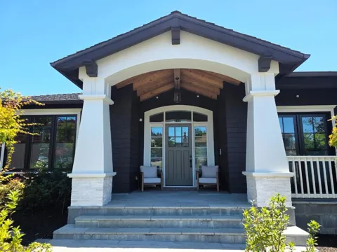
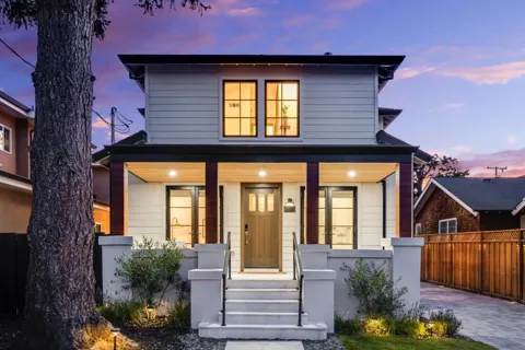
Townhouses & Duplexes in Burlingame, CA
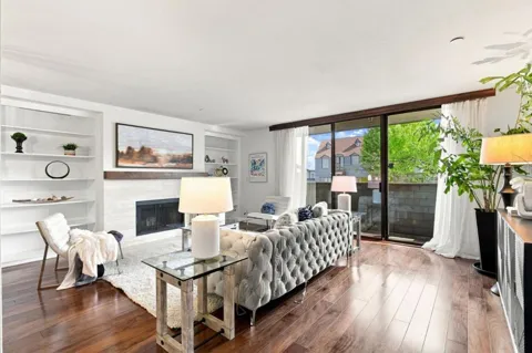
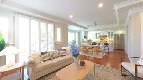
Condos & Apartments in Burlingame, CA
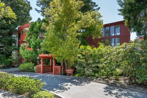

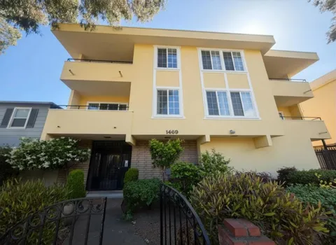
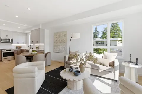
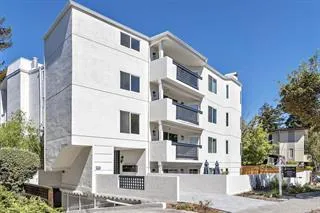
For Rent in Burlingame, CA
Lots & Land in Burlingame, CA
MARKET SNAPSHOT
The Market at a Glance
How homes have been selling here over the last 90 days.
Price & Sales History
Market data reflects closed sales over the last 90 days and is provided for informational purposes.
Zip Codes
BROWSE BY ZIP
Browse listings by postal code in this area.
- Grid
- Map
- List
City Guide
About Burlingame
Real Estate & Housing
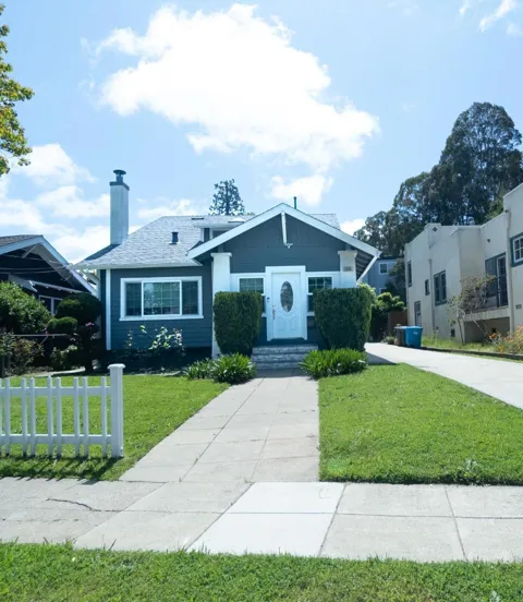
Burlingame's housing stock skews toward the early 20th century, with a concentration of single-family homes built from the 1900s through the 1940s. The Burlingame Terrace neighborhood is among the city's oldest, while the Burlingables area is known for its tree-lined streets and a range of period styles, including California bungalows, Craftsman, and Spanish Revival designs. Many homes sit on modestly sized lots with mature landscaping, and several neighborhoods retain a cohesive, low-rise character that reflects the city's origins as an early railroad-era suburb. Newer construction and mid-century infill add variety without displacing the older fabric that gives Burlingame much of its identity.
Neighborhoods
Burlingame's neighborhoods are generally distinguished by era and proximity to downtown. Burlingame Terrace, one of the oldest sections, offers a convenient central location and a mix of architectural styles. Lyon-Hoag sits within walking distance of Burlingame Avenue, Washington Park, and Washington Elementary School. The Burlingables neighborhood is known for its dense tree canopy and architecturally varied early-1900s homes. Burlingame Gate and the Easton Addition add further residential pockets, the latter on the east side of El Camino Real toward the bay. Each area shares the city's overarching pattern of tree-lined streets and established, walkable residential blocks.
Lifestyle in Burlingame
Daily life in Burlingame centers on its walkable downtown. Burlingame Avenue and its side streets host hundreds of independently owned stores and restaurants, ranging from casual cafes and bakeries to fine dining, alongside the city's central shopping spine on California Drive. The city's "Tree City USA" recognition and its bayside parks give residents a balance of commercial convenience and outdoor respite. Community life is oriented around the public schools, Washington Park, and local events, lending Burlingame a small-city rhythm despite its position in one of the nation's most expensive and densely populated metropolitan regions.
Schools & Education
Burlingame is served by the Burlingame School District for elementary and middle grades and by the San Mateo Union High School District for grades nine through twelve. Burlingame High School, located in the city on Mangini Way, enrolls roughly 1,450 students and draws from across the open-enrollment high school district, which also serves San Mateo, Foster City, Hillsborough, San Bruno, and Millbrae. The presence of neighborhood elementary campuses such as Washington Elementary, together with the city's established residential character, makes schools a central part of Burlingame's appeal to families.
Getting Around
Burlingame is exceptionally well connected. U.S. Route 101 and El Camino Real run through or alongside the city, and San Francisco International Airport lies immediately to the north, just beyond Millbrae. Caltrain provides rail service from Burlingame's downtown station up the Peninsula toward San Francisco and south toward San Jose, while the Millbrae station offers a transfer to BART for direct airport and regional access. SamTrans buses, including routes along El Camino Real, supplement the rail network. This combination of a downtown Caltrain stop, a nearby BART hub, and an adjacent international airport makes Burlingame one of the Peninsula's most convenient cities for commuters and travelers.
Parks & Recreation
The San Francisco Bay shoreline defines Burlingame's outdoor offerings. The San Francisco Bay Trail runs along the city's bayfront, providing a flat, paved route for walking, running, and cycling with views across the water. Coyote Point Recreation Area, a roughly 670-acre bayside park at the city's northeastern edge, offers beaches, picnic areas, trails, and a playground, along with the CuriOdyssey science and wildlife center. Inland, Washington Park and Bayside Fields provide neighborhood-level green space and sports facilities. Anza Lagoon and a series of bayside paths further connect Burlingame's neighborhoods to the open shoreline that distinguishes it from its inland Peninsula neighbors.
About Burlingame
Frequently asked questions
What county is Burlingame in?
Burlingame is located in San Mateo County, California, on the San Francisco Peninsula, roughly midway between San Francisco and San Jose and immediately north of San Francisco International Airport. It sits on the bay side of the Peninsula between Millbrae and San Mateo, with the county seat of Redwood City to the south.
How far is Burlingame from San Francisco?
Burlingame sits about 15 miles south of San Francisco. Commuters can reach the city by Caltrain from Burlingame's downtown station or via BART by connecting at nearby Millbrae, with typical rail travel times of roughly 30 to 45 minutes. U.S. Highway 101 also provides a direct driving route up the Peninsula.
What school districts serve Burlingame?
Burlingame is served by the Burlingame School District for kindergarten through eighth grade and the San Mateo Union High School District for grades nine through twelve. Burlingame High School is located in the city, and the high school district serves most of San Mateo County, including San Mateo, Foster City, Hillsborough, San Bruno, and Millbrae.
Is Burlingame close to San Francisco International Airport?
Yes. Burlingame borders San Francisco International Airport, which sits just to the north in Millbrae and San Bruno. The airport is minutes away by car along U.S. 101, and BART service at Millbrae provides a direct rail link to the terminals.
Still have questions about Burlingame?
Get in touchExplore the area
